
📅 October 2026: Exploring AI in Drone Operations and Mapping
Droneworks is partnering with an AI company to research AI-controlled aircraft operations and develop tools that deliver deeper insights from drone mapping missions. The collaboration will explore how AI can support aircraft operations and transform aerial imagery into practical information, helping clients monitor changes, understand site conditions and make better-informed decisions.
Potential applications include tracking construction progress by comparing successive surveys, analysing vegetation health and patterns using multispectral imagery, and extracting more detailed insights from roof inspections. By identifying changes and highlighting areas requiring closer assessment, these tools aim to add value to mapping deliverables and support more targeted inspections, maintenance planning and ongoing monitoring.
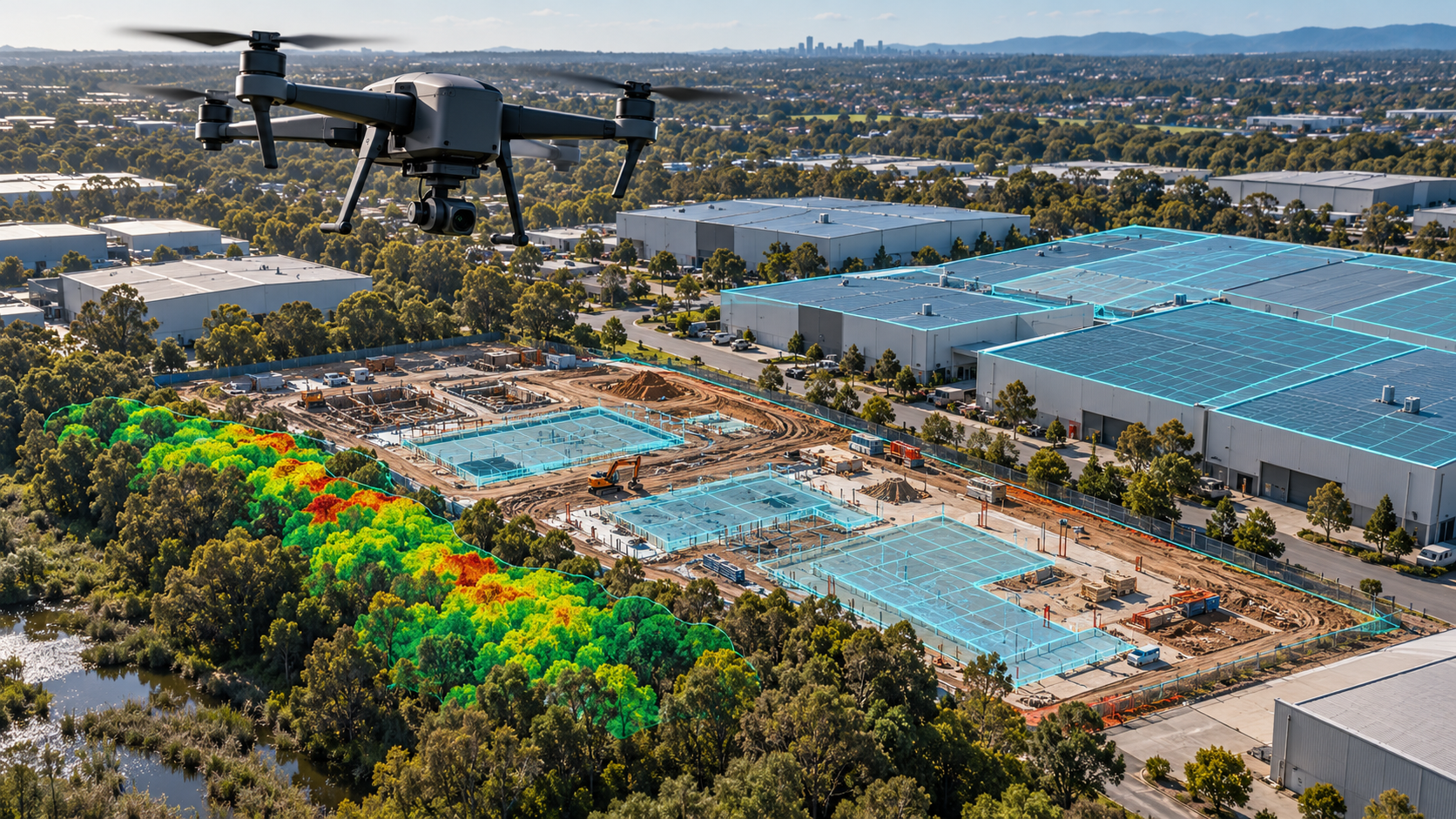
AI-generated illustration of drone mapping and analysis.