In Love With Drones ♥
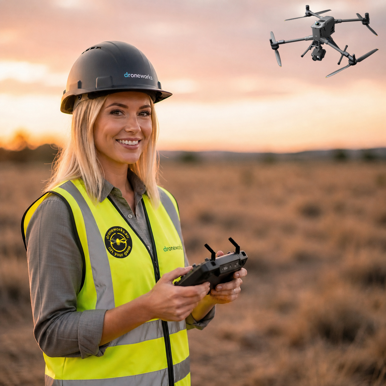
Since 2018, we have been operating professionally in the drone space, starting with rural mapping and expanding into advanced UAV operations across Sydney and wider Australia. What began as a focus on accurate terrain data quickly evolved into a broader capability covering inspections, aerial imaging, security applications, and operational support for commercial and government clients.
The common thread has always been practical application. Drone technology is only valuable if it solves real problems. From inspecting roofs in dense Western Sydney suburbs like Auburn and Silverwater, through to supporting construction and infrastructure projects in Parramatta, our work is built around delivering usable, reliable outcomes rather than just capturing footage.
We operate in environments where safety, compliance, and precision matter. That includes industrial sites, active construction zones, and regulated airspace where planning and execution need to be done properly. Every job is approached with a clear objective: gather the right data, minimise risk, and deliver results that can actually be used.
Why Drone Services Are Essential for Sydney Projects
Drone technology has shifted how inspections, mapping, and data collection are carried out. In many cases, it replaces slower, risk-heavy methods with something faster, safer, and more precise. That matters in real-world environments where time, cost, and safety are not negotiable.
- Improved accuracy in mapping, modelling, and land analysis
- Reduced risk when inspecting elevated or hazardous structures
- Faster turnaround compared to traditional access methods
- Lower operational costs without compromising data quality
For a warehouse in Silverwater, that might mean identifying roof damage without shutting down operations. For a construction project in Parramatta, it means having up-to-date visual records without slowing progress. The value is not the drone itself — it is what the data allows you to do.
Core Capabilities
How we approach the work
Every job starts with understanding the objective. Whether it is a roof inspection, mapping task, or aerial capture, the goal defines how the operation is planned. We assess the site, airspace, risks, and required outputs before anything leaves the ground.
Flight execution is controlled, deliberate, and compliant. We operate within regulatory frameworks and adjust for real-world conditions such as weather, obstacles, and site activity. This is not recreational flying — it is structured data capture.
After the flight, the focus shifts to output. Raw footage is not useful unless it is processed into something meaningful. That could be a set of high-resolution inspection images, a mapped dataset, or visual content ready for use in reporting or marketing. The end result is always aligned to the original objective.
Services Delivered
- Mapping & Surveying — Accurate terrain models, orthomosaic maps, and spatial data for planning and development
- Security Operations — Real-time aerial awareness for monitoring, incident response, and site visibility
- Aerial Photography & Video — Commercial-grade imagery for real estate, marketing, and documentation
- Infrastructure Inspections — Safe, efficient assessment of roofs, assets, and hard-to-access structures
Working across Sydney
Our operations are based in Sydney, with a strong presence across Western Sydney including Newington, Auburn, Silverwater, and Parramatta. These areas present a mix of industrial, commercial, and residential environments, each with its own operational challenges.
Understanding local conditions matters. Airspace restrictions, site access, and environmental factors all influence how a job is carried out. Experience operating in these areas allows us to plan efficiently and avoid delays.
We regularly support projects in active industrial zones, construction developments, and built-up urban areas where precision and control are critical. This local focus allows for faster response times and a more practical approach to problem solving.
Experience and capability
Over time, the scope of work has expanded from basic mapping into a broader set of capabilities covering inspections, security applications, and aerial data capture. Each area requires a slightly different approach, but the fundamentals remain the same — safety, accuracy, and consistency.
We work with construction teams, property managers, and commercial operators who need reliable information to make decisions. That might be identifying a defect, tracking site progress, or capturing a visual record of an asset.
The focus is always on producing something useful. Not just images or video, but outputs that serve a purpose within a workflow or decision-making process.
Accreditation and compliance
- CASA Sub 25KG Remote Pilot’s Licence (RePL)
- CASA Aeronautical Radio Operator Certificate (AROC)
- CASA Remote Operators Certificate (ReOC.8498)
- CASA Beyond Visual Line of Sight Certificate (BVLOS)
All operations are conducted in line with regulatory requirements set by the Civil Aviation Safety Authority. Compliance is not optional — it is built into how every job is planned and executed. This ensures safe operation in controlled airspace and complex environments.
Work certifications
- SafeWork NSW White Card
- Working With Children Check (WWCC)
These certifications support operations in construction environments, public-facing roles, and regulated workspaces where additional compliance is required.
What we deliver
- Mapping & Surveying — Accurate terrain models, orthomosaic maps, and spatial data for planning and development
- Security Operations — Real-time aerial awareness for monitoring, incident response, and site visibility
- Aerial Photography & Video — Commercial-grade imagery for real estate, marketing, and documentation
- Infrastructure Inspections — Safe, efficient assessment of roofs, assets, and hard-to-access structures
Closing
Drone operations are not about the aircraft — they are about outcomes. The ability to gather accurate data quickly, reduce risk, and provide a clear view of a situation is what makes this technology valuable.
Since 2018, the focus has remained consistent: deliver practical, reliable drone services that solve real problems. Whether it is an inspection in Auburn, a mapping project in Parramatta, or aerial imaging across Sydney, the approach does not change — plan properly, execute safely, and deliver something useful.
If you need drone services that prioritise clarity, compliance, and real-world results, get in touch. We operate across Sydney and are ready to support projects of all sizes.