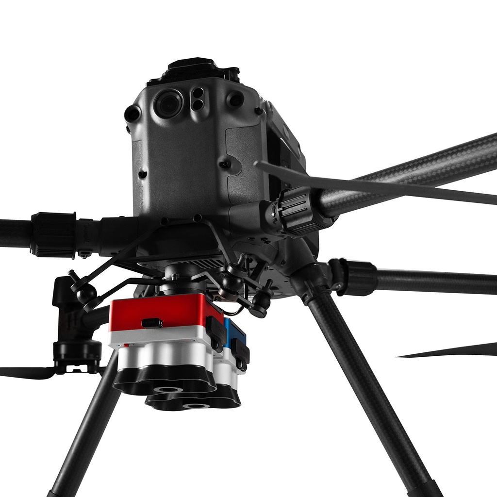
Multispectral
NDVI • NDRE • NIR
See Stress Before It Shows: Multispectral Drone Imaging
Examples of vegetation indices, false-color composites, and real-world use cases for crops, waterways, and assets.
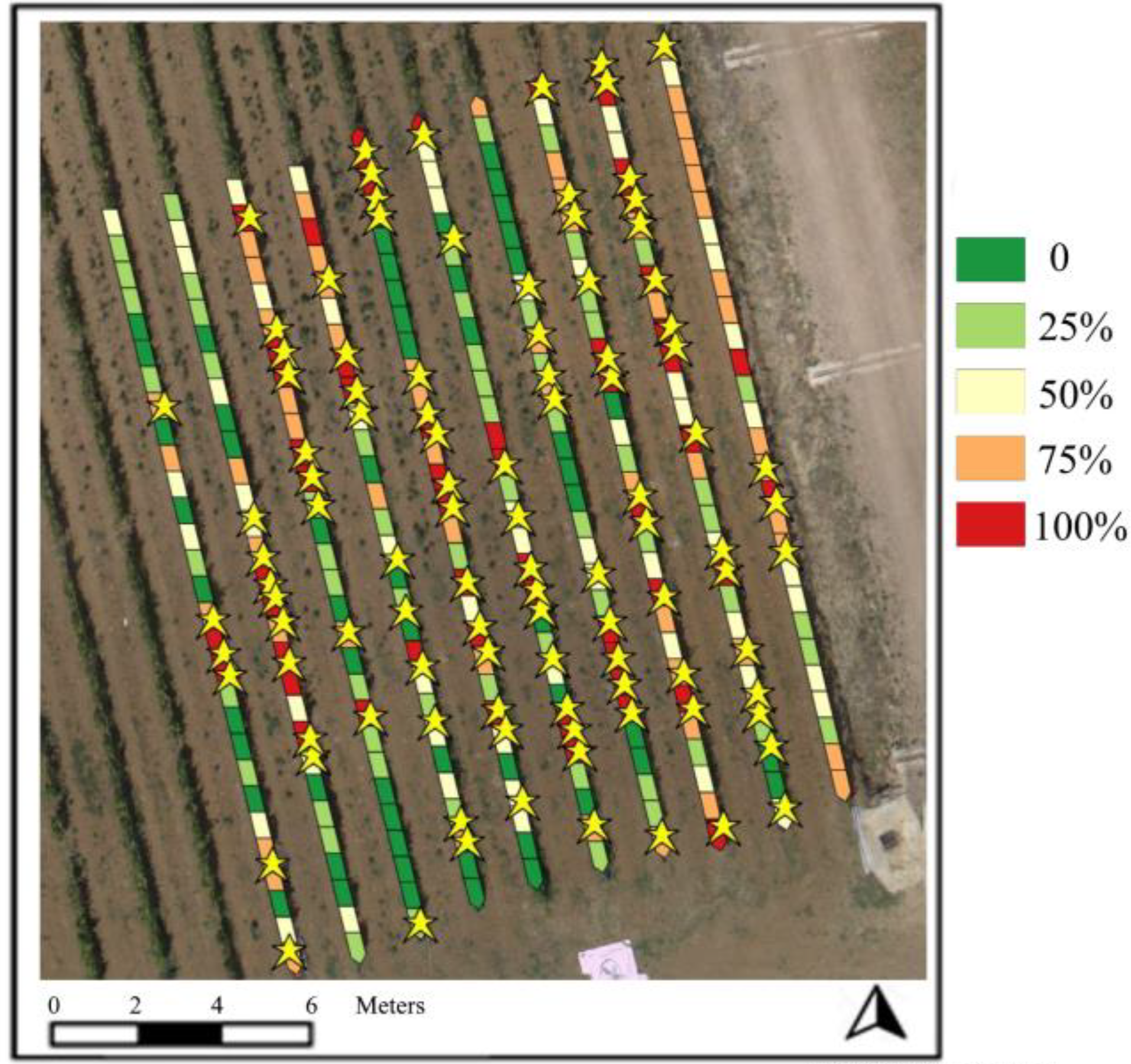
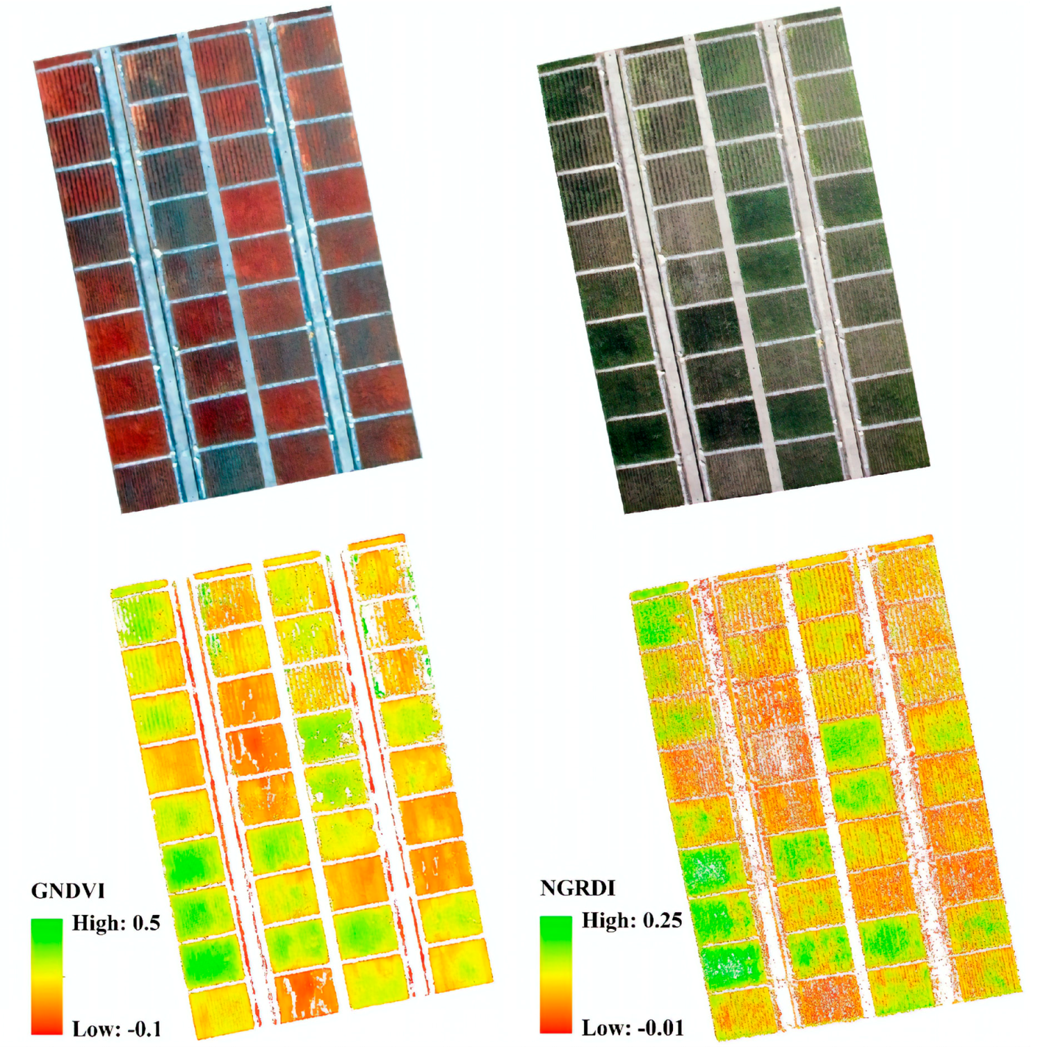
🌱 Agriculture & Vegetation
Early stress detection, variable-rate management, and canopy vigor mapping using NDVI / NDRE.
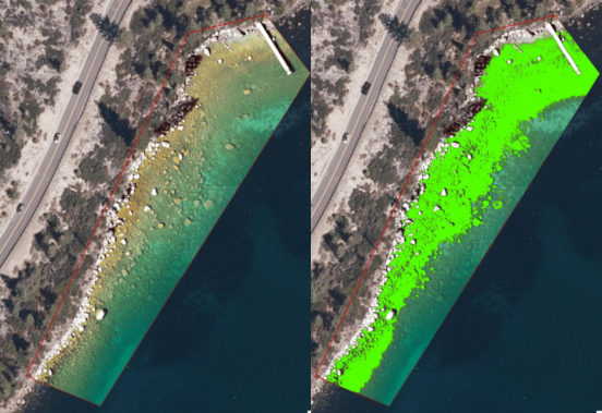
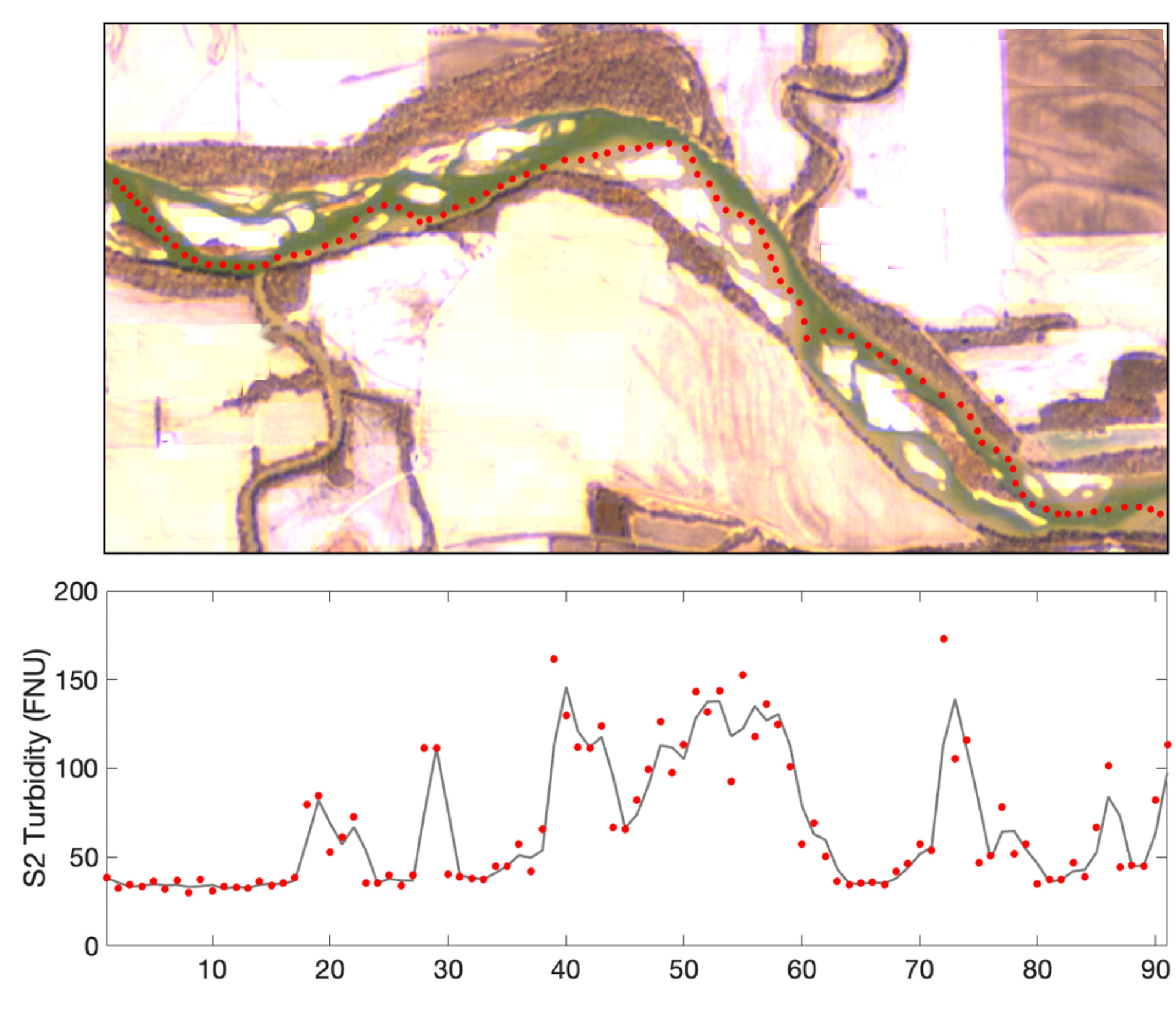
🌊 Water & Environment
Track algal blooms, turbidity, and habitat health using chlorophyll-sensitive bands and indices.
🏗️ Infrastructure & Land Use
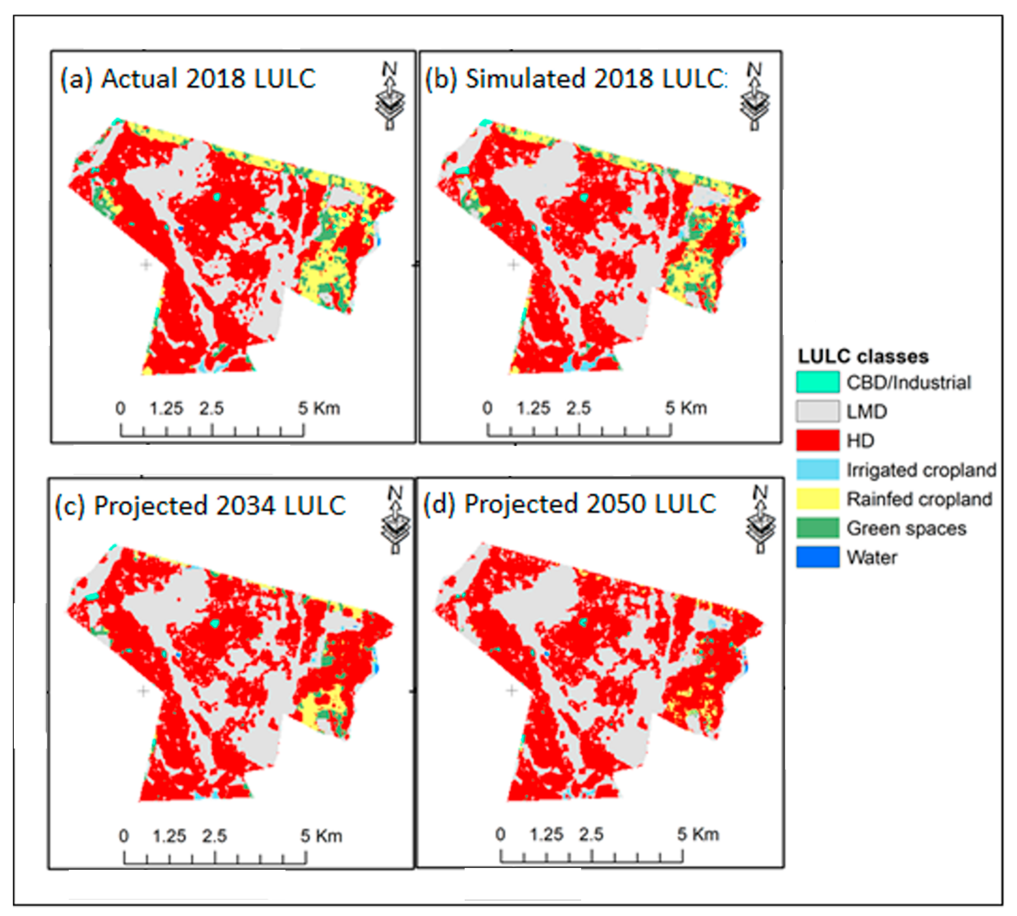
Differentiate vegetation, soil, and built surfaces; monitor rehabilitation and erosion.
How It Works
A multispectral payload captures synchronized bands (e.g., Blue, Green, Red, Red-Edge, NIR). Processing software computes indices like NDVI (NIR−Red)/(NIR+Red) and NDRE (NIR−RE)/(NIR+RE) to reveal plant health and water signatures.
- Plan flight for uniform lighting; fly above 60–120 m AGL for consistent GSD.
- Use a reflectance/white panel and downwelling irradiance sensor for calibration.
- Orthomosaic and index maps are generated in post-processing GIS software.